Gta 6 Traffic And Road Network
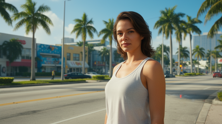
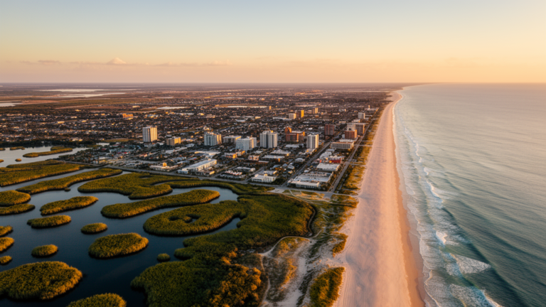
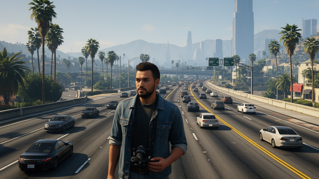
Rockstar has confirmed the setting of GTA 6 as the state of Leonida, including Vice City, but hasn’t detailed the road network or traffic systems yet. Based on the official trailers showing both urban thoroughfares and multi-lane highways, and drawing from GTA V’s proven framework, we expect a meticulously crafted traffic and road network that will fundamentally shape exploration, missions, and chaos in this next-gen world.
Why Road Density Defines Your GTA 6 Experience
Road density—the number of interconnected routes per square mile—directly impacts how you’ll engage with Leonida. In GTA V, Los Santos’ dense downtown grid created natural choke points for missions and high-stakes chases, while the sparse desert roads encouraged high-speed escapes. For GTA 6, the trailers reveal Vice City’s iconic, tightly packed streets and surrounding rural highways, suggesting Leonida will follow this pattern. We expect urban zones like downtown Vice City to feature high road density, enabling complex mission routing where players can weave through side streets to evade police or ambush targets. Conversely, rural Leonida areas will likely have lower density, emphasizing longer sightlines and open-road driving. This variation isn’t just aesthetic; it dictates gameplay pacing. Drawing from GTA V’s design, dense networks force tactical navigation and reward map knowledge, while sparse areas prioritize vehicle control and risk assessment during high-speed pursuits. Rockstar’s dual-protagonist structure (Jason and Lucia) may even leverage road density differently—Lucia’s urban-focused trailer moments hinting at tight-quarters driving, while Jason’s highway scenes suggest broader traversal.
Highways vs. City Streets: Leonida’s Contrasting Pathways
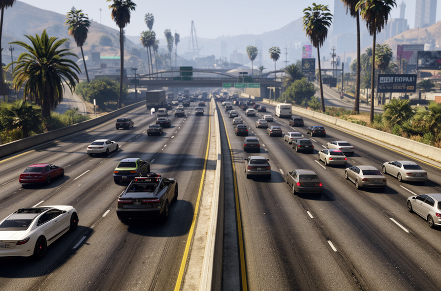
The official trailers showcase Leonida’s two distinct road ecosystems: the sprawling highway systems and the intricate urban grids. The first trailer’s high-speed chase sequence confirms multi-lane highways with overpasses and complex interchanges, typical of modern American infrastructure. These will serve as GTA 6’s high-velocity arteries for quick cross-map travel and large-scale police chases, where speed and collision physics become critical. Meanwhile, Vice City’s downtown shots reveal narrow, winding streets with palm-lined avenues, one-way systems, and dense traffic—a clear nod to GTA V’s Vinewood Hills but with 2026-era detail. We expect city streets to feature tighter corners, pedestrian crossings, and unpredictable traffic flow that demands precise driving, while highways will prioritize momentum-based gameplay with AI that reacts to high-speed maneuvers. This duality mirrors GTA V’s successful approach, where highways enabled cinematic getaways and city streets created intimate, chaotic moments. Players should anticipate adapting their driving style constantly, as switching from a rural highway to Vice City’s core could mean shifting from 120 mph sprints to 30 mph navigating gridlock.
Lessons from GTA V: How Past Maps Inform Leonida’s Design
Rockstar’s approach to road networks in GTA V provides the clearest blueprint for what to expect in Leonida. Los Santos’ map featured meticulously researched road hierarchies—highways for rapid transit, commercial avenues for mid-density traffic, and residential side streets for slower, neighborhood-focused moments. This layered design made the city feel authentic and playable. In GTA 6, we expect Leonida to expand on this foundation with even more environmental storytelling through roads; for example, Vice City’s coastal highways may feature beachside
Shop gta 6 traffic and road network on Amazon →
As an Amazon Associate we earn from qualifying purchases.